
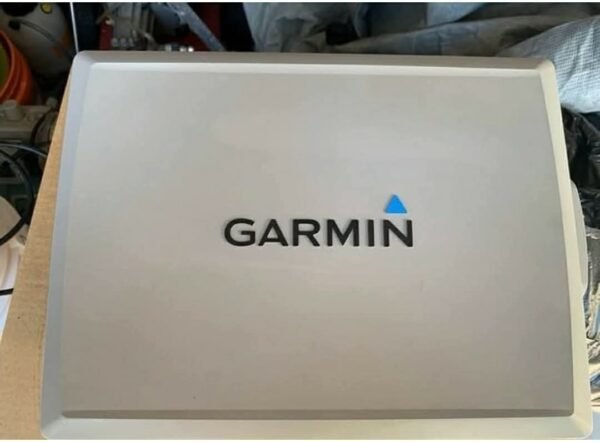


Garmin GPSMAP 7212 Chartplotter GPS Unit (SE Florida & Bahamas Map Chip)
This is a fully functional Garmin GPSMAP 7212, a large-format marine navigation system designed for offshore boating and coastal navigation.
The unit includes a dedicated SE Florida & Bahamas map chip, making it especially useful for offshore cruising, sport fishing, and island navigation routes.
All software has been updated, and the system is ready for installation and use.
Included Components
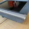
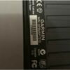
- Garmin GPSMAP 7212 display unit
- SE Florida & Bahamas map chip
- Screen cover
- New power cable
- Updated software installed
Key Features
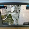
Large 12″ Display
- High-resolution marine-grade screen
- Easy visibility in sunlight
- Split-screen navigation support
Advanced GPS Navigation
- Detailed coastal and offshore mapping
- Preloaded regional chart chip (SE Florida & Bahamas)
- Waypoint and route planning
- Precision marine navigation system
System Performance
- Updated Garmin software
- Fast chart rendering
- Reliable offshore navigation capabilities
Ideal Applications
- Offshore fishing boats
- Yacht navigation systems
- Bahamas and Caribbean cruising
- Long-range coastal travel
- Sport fishing vessels
Why the Garmin 7212 Is Still Valuable
- Large professional-grade display
- Reliable offshore navigation platform
- Strong compatibility with marine networks and radar systems
- Proven Garmin marine electronics reliability
Installation Notes
- Flush mount or bracket mount compatible
- Requires marine-grade power connection
- Can integrate with radar, sonar, and autopilot systems
- Best used with Garmin marine network accessories
Important Notes
- Fully functional unit with updated software
- Map chip included for SE Florida & Bahamas region
- Verify mounting hardware compatibility before installation
Ideal For
- Offshore anglers
- Yacht captains
- Bahamas and Caribbean cruisers
- Marine electronics upgrades
- Professional navigation setups
Reviews
There are no reviews yet.